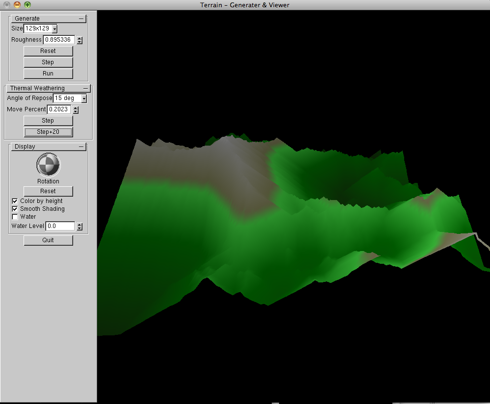
Description
A class project in "Computer Generated Natural Phenomenon" at Brigham Young University to generate height-map terrain using the square-diamond algorithm.
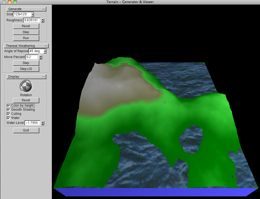
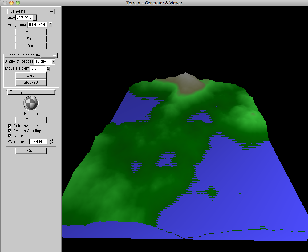
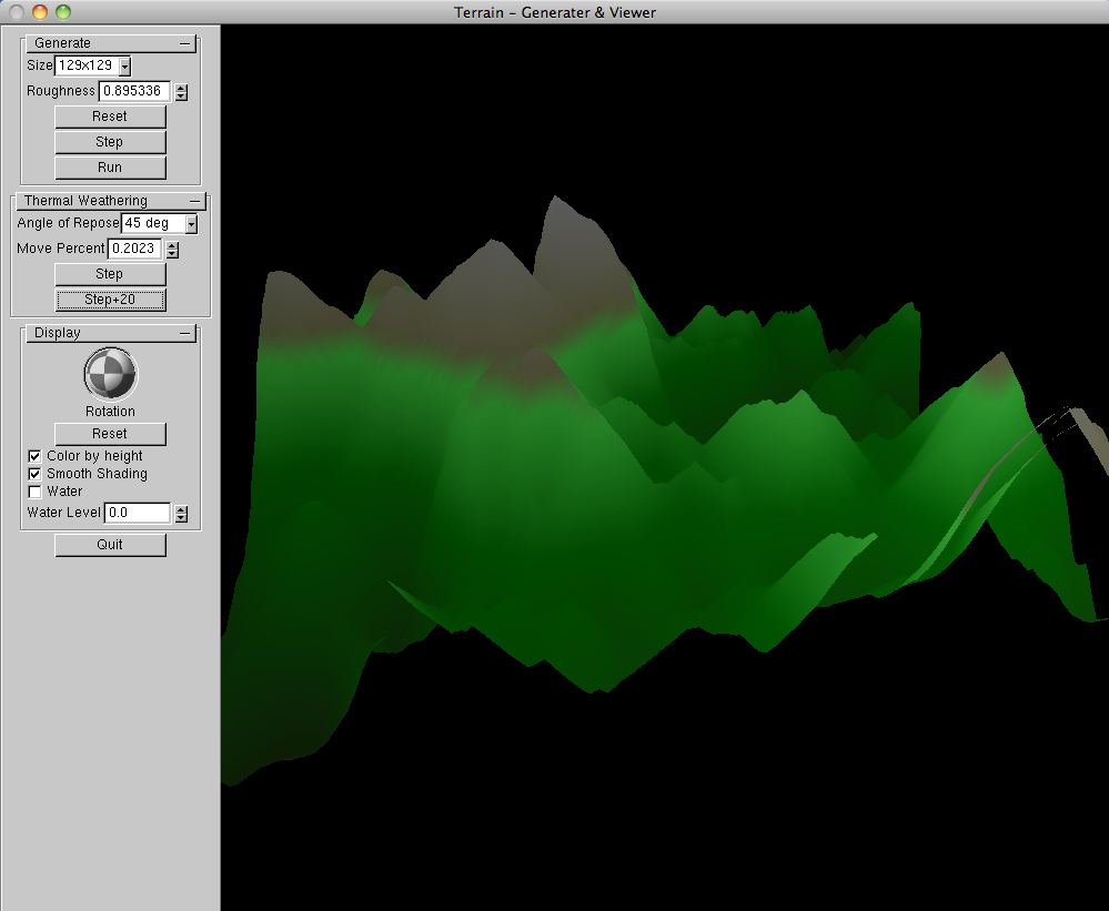
Some extra features were optional for the class:- Implement square-diamond terrain generation and display (85%)
- Implement Muskgrave's Thermal Weathering algorithm (5%)
- Rotatable display (2%)
- Coloration based on altitude (2%)
- "Cool" GUI features (5-10%)
- Change algorithm parameters
- Stepper for Square-Diamond and Thermal Weathering
- Water level display
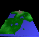
Screenshots
Files
| Source (.tgz) | 593 KB | terrain.tgz |
|---|---|---|
| Demo Movie | 983 KB | terrain_generation.mov |